Search
External sources

PDOK Public Service on the Map (PDOK) is a central facility that provide geodatasets. This actual and reliable information are based on open…
GIS module
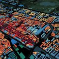
The basic knowledge of a GIS can mean a lot to you as a student during your studies for the realization of numerous applications. At the…
Bonne maps (1865-1930)
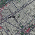
The Bonne map (chromo-topographical map of the Kingdom of the Netherlands on the scale of 1:25,000) was originally produced between the end…
Topographical military map of the Kingdom of the Netherlands (1850-1864)
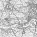
The 62 maps sheets of the topographical military map of the Kingdom of the Netherlands were produced between 1850 and 1864. At the time,…
City maps & topographical maps
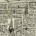
Impressions of abbeys and monasteries Impressions of towns Impressions of estates and castles City maps Maps of sieges Topographical maps…
CiTG StuDoc

Opening hours summer period 2023 1 July to 16 July CLOSED 17 July to 21 July Monday to Thursday 08:00 - 22:00 Friday 08:00 - 18:00 22 July…
Map collection
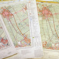
Topographical maps Thematic maps Historical maps
Prepare data for publication
Before you are publishing your research output, it’s time to think about what research data you want to make openly accessible for whom and…
Opening times & locations
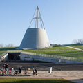
Library Learning Centre Trésor Library of Architecture & Maproom CEG StuDoc
Search for data
If you consider re-using research data, you can draw upon existing data that is available in repositories or other sources. The landscape…