Smart solutions for better water management in Africa
For more than 30 years, Nick van de Giesen, professor of water management at TU Delft, has been working with African partners to develop accessible water solutions. His current main interest is the innovative deployment of geo-information services, which use data from satellite imagery, maps and local sensors. “It provides crucial rainfall and flooding data that are crucial to agriculture, urban areas and water reservoirs.”
Text: Irene Salverda • Photos: TU Delft • November 5, 2024
Driven by climate change, extreme weather events are becoming increasingly common in Africa. Prolonged droughts cause fields to wither, while sudden downpours flood villages and towns. With these extreme events threatening both agricultural and urban areas, the potential of geo-informatics to provide solutions to these issues is becoming increasingly evident.
Plentiful opportunities
According to Van de Giesen, geo-information services are a source of plentiful opportunities. “Here in the Netherlands, we have a hundred experts for every water-related issue, but in Africa, one expert has to solve a hundred problems on their own.” As part of the four-year TWIGA research and innovation project, which ended last year, TU Delft researchers worked with African partners, including universities, meteorological service providers and NGOs, to investigate ways to enhance satellite data with innovative sensors to provide better information on weather, water and the climate.
“Better forecasts can be the difference between a bountiful harvest and a failed one”, Van de Giesen explains. “The combination of satellite imagery, soil moisture data and models enables us to accurately predict the start of the rainy season and, therefore, the best time to sow the fields.” Armed with this information, farmers won’t have to waste their precious seeds any longer.


Solutions that work locally
Of the nearly 20 innovations tested as part of the TWIGA project, only a few proved viable, which isn’t actually a bad thing, argues Van de Giesen. As part of the four-year TEMBO innovation project, massive steps are now being taken in the further development of the 'winning' services - solutions for small-scale farmers, medium-sized towns and water reservoirs. “It's about developing solutions that work locally”, he stresses, “which is why our project partners in Kenya, Ghana and Zambia play a bigger role in TEMBO than we do. They know exactly what locals need and which practical solutions they require to install and service equipment.” He smiles and adds, “All too often, we fall into the trap of eagerly dreaming up solutions that do not always address the most pressing local issues faced by the people in Africa!”
We use affordable GPS systems. This allows us to spot upstream river floods and give early warnings to cities
Affordable technology for cities
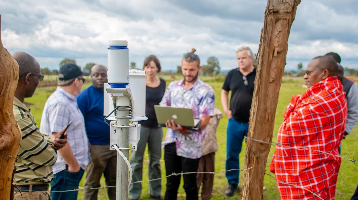
In African metropolises such as Lagos, Accra and Nairobi, large flood early warning systems (FEWS) have been set up with foreign assistance. However, such financial support is often lacking in smaller towns, which harbour two-thirds of the urban population. “It’s an opportunity to make a big difference”, says Van de Giesen. His team has deliberately opted for an innovative approach based on appropriate solutions that fit the budget. “We start by asking about the budget and pick the best system based on the answer.” This approach saw Van de Giesen’s team develop a weather station that performs almost on par with more expensive stations but at one-tenth the cost. “We use affordable GPS systems, such as ArduSimple's global navigation satellite systems (GNSS), and combine them with accessible local alert services, such as phone-based services. This allows us to spot upstream river floods and give early warnings to cities.”


Big step forward
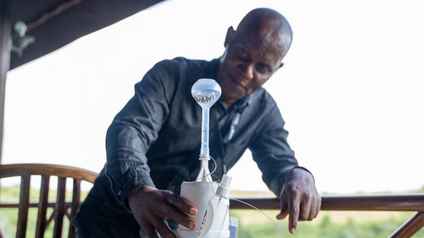
TEMBO researchers have different roles within the project. TU Delft, for example, shares knowledge about models and new sensors that are still unknown in Africa. Apart from GNSS systems, it also spreads awareness of fish finders: affordable devices that use sonar to detect fish and easily measure water depth. Local partners are now taking the lead in developing innovative services, such as combining forecasting systems with micro-credit and insurance for small-scale farmers.
Some services have proven to be unexpectedly popular. For example, water reservoir managers urgently required better flood forecasts to prevent costly disasters and were therefore eager to invest in TEMBO-developed services related to fish finders. Van de Giesen hopes this big step forward will be adopted more widely. “It would be great if we could develop new observation networks that produce international public goods, such as improved rainfall maps. This would enable local organisations to develop new, profitable services to recoup the costs of the system and make a positive impact throughout Africa.”
Interested in collaboration?
Interested in business collaboration or seeking knowledge and insights on your policy themes?
Contact us
![[Translate to English:] [Translate to English:]](https://filelist.tudelft.nl/_processed_/e/3/csm_Agbana%2C%20T%20-%2003%20work_resized_07f6c6bab6.jpg)


